Drone Construction Monitoring Company
Boise, ID
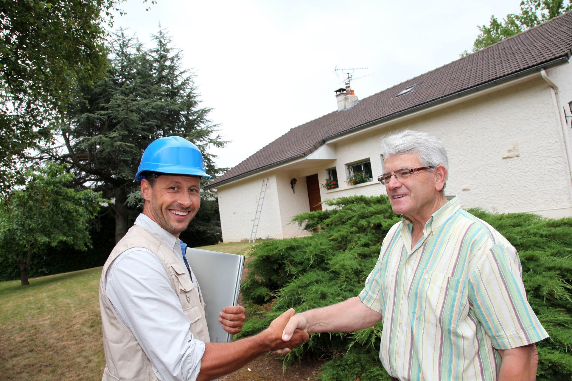
Fully Certified and Licensed
Free Consultation and Estimates
Some Services Available as Soon as the Next Day
Request Lorem Epsom
Hero Request Form
Thank you for contacting us.
We will get back to you as soon as possible.
Please try again later.
Revolutionizing Construction with Aerial Insights
Starlight Drones is transforming the construction landscape in Idaho and Oregon with our cutting-edge drone technology. As general contractors and builders, we understand the complexities of construction projects and the critical need for accurate, real-time information. Our drone-based construction monitoring services provide unparalleled aerial perspectives, enabling project managers and stakeholders to make informed decisions quickly and efficiently. By leveraging the latest advancements in drone technology, we offer a comprehensive suite of monitoring solutions that enhance project oversight, improve safety, and streamline operations. As a locally owned and woman-operated business, Starlight Drones is deeply committed to serving our community with excellence.
We pride ourselves on our fully certified and licensed status, ensuring that all of our operations meet the highest industry standards. Our team of experts includes Part 107 certified pilots, spray certified professionals, and registered chemical applicators for both ground and aerial applications. We stand behind our work, guaranteeing customer satisfaction and carrying comprehensive liability insurance for your peace of mind. With our flexible scheduling, some services can be available as soon as the next day, while most can be arranged within a week. Experience the Starlight Drones difference for yourself – contact us today for a free consultation and estimate, typically provided within 24-48 hours.
Why Choose Us
Fully Certified and Licensed
Free Consultation and Estimates
Some Services Available as Soon as Next Day
Locally and Woman Owned
Latest Technology Used
We Stand Behind Our Product and Ensure Customer Satisfaction
Progress Tracking
Safety Monitoring
Site Surveying
Volume Calculations


Here's what our satisfied customers are saying...
At Starlight Drones, we take pride in providing exceptional dron services to our customers. We would be grateful if you could share your thoughts about our services with others. Your feedback helps us improve and helps others make informed decisions. Please take a moment to leave a review of Starlight Drones and let others know what you think.
Frequently Asked Questions
Implementing aerial technology on your job site can transform your project management, safety protocols, and investor reporting. To help you understand how aerial data can benefit your operations, we have answered the most common questions about working with a drone construction monitoring company in Boise, ID. Explore the insights below to discover how our advanced solutions keep your projects on schedule, within budget, and safer than ever.
Can drones help identify safety risks on construction sites?
Yes. Partnering with a drone construction monitoring company in Boise, ID plays an important role in identifying potential safety concerns before they become serious problems. Aerial views make it easier to spot hazards such as unstable structures, uneven terrain, improperly stored materials, or equipment positioned too close to active work zones. Supervisors can also use drone footage to check whether workers are following safety protocols, wearing protective gear, and staying within designated areas. Because drones can document conditions from multiple angles, they provide a more complete picture than ground-only inspections. Regular monitoring supports compliance documentation and helps safety managers track improvements over time. This proactive approach reduces the likelihood of accidents, improves accountability, and promotes a safer environment for everyone on site.
Are drone surveys accurate enough for construction planning?
Modern drone mapping technology used by a drone construction monitoring company in Boise, ID can deliver highly precise measurements and detailed digital models suitable for planning and design. Using GPS positioning, photogrammetry, and advanced processing software, drones can generate elevation maps, contour lines, surface models, and orthomosaic images. These datasets help engineers and planners understand site conditions before construction begins and track changes as work progresses. Because drones can scan large areas quickly, they provide current information without slowing down operations or requiring lengthy manual surveys. Accurate aerial data supports better material estimates, more efficient resource allocation, and improved scheduling decisions.
Who benefits most from drone construction monitoring services?
Hiring a drone construction monitoring company in Boise, ID provides advantages for a wide range of project participants. Developers can track overall progress and confirm that work aligns with plans, while contractors and subcontractors can use aerial reports to coordinate tasks and verify completed stages. Engineers and architects benefit from updated site visuals that help them evaluate conditions and make design adjustments if needed. Property owners and investors gain transparency through clear visual updates that show how projects are advancing. Since everyone can access the same data, collaboration improves, and misunderstandings are reduced.
Why choose drone monitoring instead of traditional site documentation?
Traditional documentation methods often rely on manual photos, written logs, or ground inspections, which can be time-consuming and may not capture the full scope of a project. Working with a drone construction monitoring company in Boise, ID offers a faster and more comprehensive alternative by providing wide-angle aerial views and detailed imagery of the entire site. Drones can document areas that are difficult or unsafe to access on foot, such as rooftops, excavation zones, or active heavy-equipment areas. They also create consistent visual records that can be compared over time to track changes accurately. This combination of speed, coverage, and detail helps project teams maintain better oversight and reduces the risk of missing important information.
How does drone monitoring help reduce construction delays?
Choosing a drone construction monitoring company in Boise, ID helps minimize delays by giving project managers frequent visual updates that reveal potential issues early. Aerial imagery can highlight scheduling conflicts, incomplete work areas, equipment bottlenecks, or material shortages that might otherwise go unnoticed. When managers can see problems clearly, they can adjust timelines, reassign crews, or order supplies sooner. Time-stamped images also allow teams to compare current conditions with past reports, making it easier to identify trends or recurring obstacles. By turning real-time data into actionable insights, this consistent oversight keeps your project moving forward without costly pauses or unexpected setbacks.
Is drone monitoring useful after construction is complete?